Application

We cooperate with local developers to provide industrial solutions for customers.

All application
AEC Mechanical Manufacturing HVAC&Piping Electrical Structural Other Apps
  • Spatial Manager for GstarCAD
    Other Apps
  • Spatial Manager for GstarCAD
  • 2026-11-03 5627
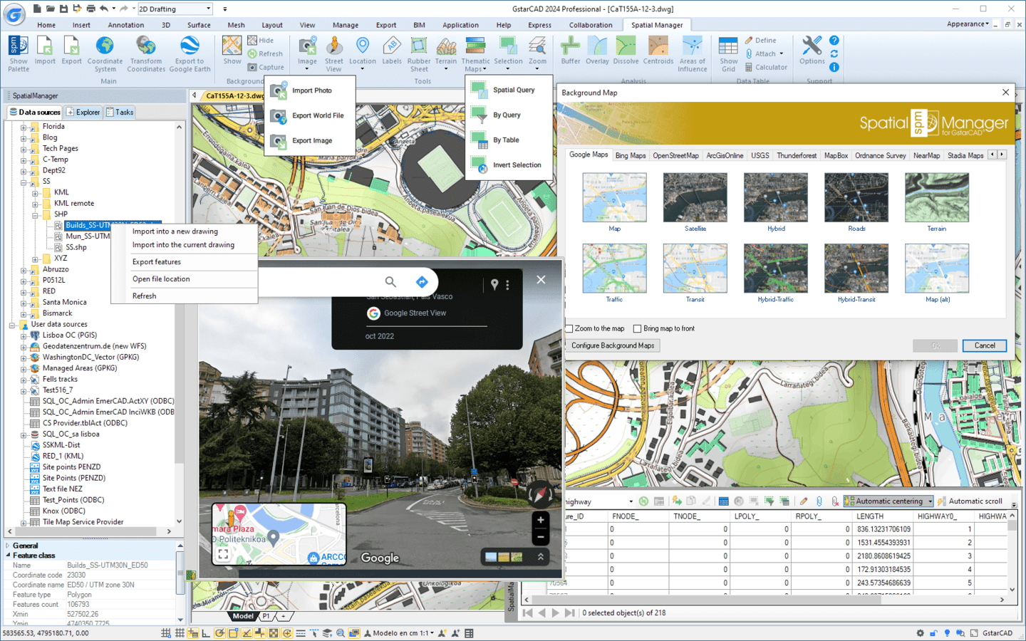
  • 'Spatial Manager for GstarCAD' is a powerful GstarCAD plug-in designed for GstarCAD users who need to import, export, manage and enhance spatial data in a simple, fast and inexpensive way, which includes many possibilities not seen so far in GstarCAD.
  • SPCAD
    AEC
  • SPCAD
  • 2025-03-18 744
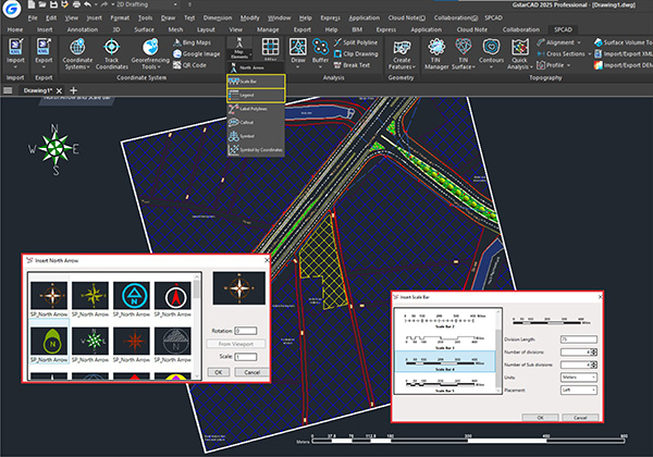
  • SPCAD is an Add-on for GstarCAD designed to enhance the general workflows of CAD professionals. With a robust suite of over 150 tools, SPCAD offers comprehensive CAD solutions, automating tasks while maintaining a high level of accuracy. From assigning coordinates to your drawing to importing/exporting geospatial files, to performing topographic analysis and creating maps and cadaster plans, you can now run spatial analysis without switching to a different software. Specifically developed to facilitate geospatial analysis, SPCAD comes equipped with the necessary tools to expedite GstarCAD workflows, making them quick, efficient, and convenient. Notably, SPCAD is available English, Spanish, Greek, Polish, and Portuguese languages, catering to a diverse user base and ensuring accessibility for professionals in different linguistic preferences.
  • TableBuilder
    Other Apps
  • TableBuilder
  • 2019-04-04 251
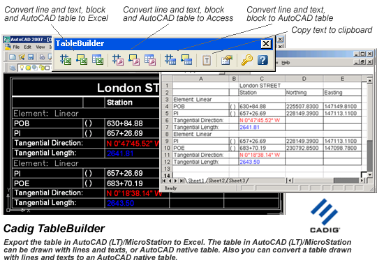
  • TableBuilder is designed to export table / BOM / schedules from GstarCAD to Excel worksheet. The table in GstarCAD can be GstarCAD native table or the table drawn with lines and text. Also you can convert a table drawn with lines and text to a GstarCAD native table.
  • TcpMDT
    Other Apps
  • TcpMDT
  • 2025-02-01 571
  • All-in-one solution for Surveying and Civil Engineering projects. Now TcpMDT supports GstarCAD 2025 version.
  • TOPOCAD2000
    Other Apps
  • TOPOCAD2000
  • 2019-08-26 889
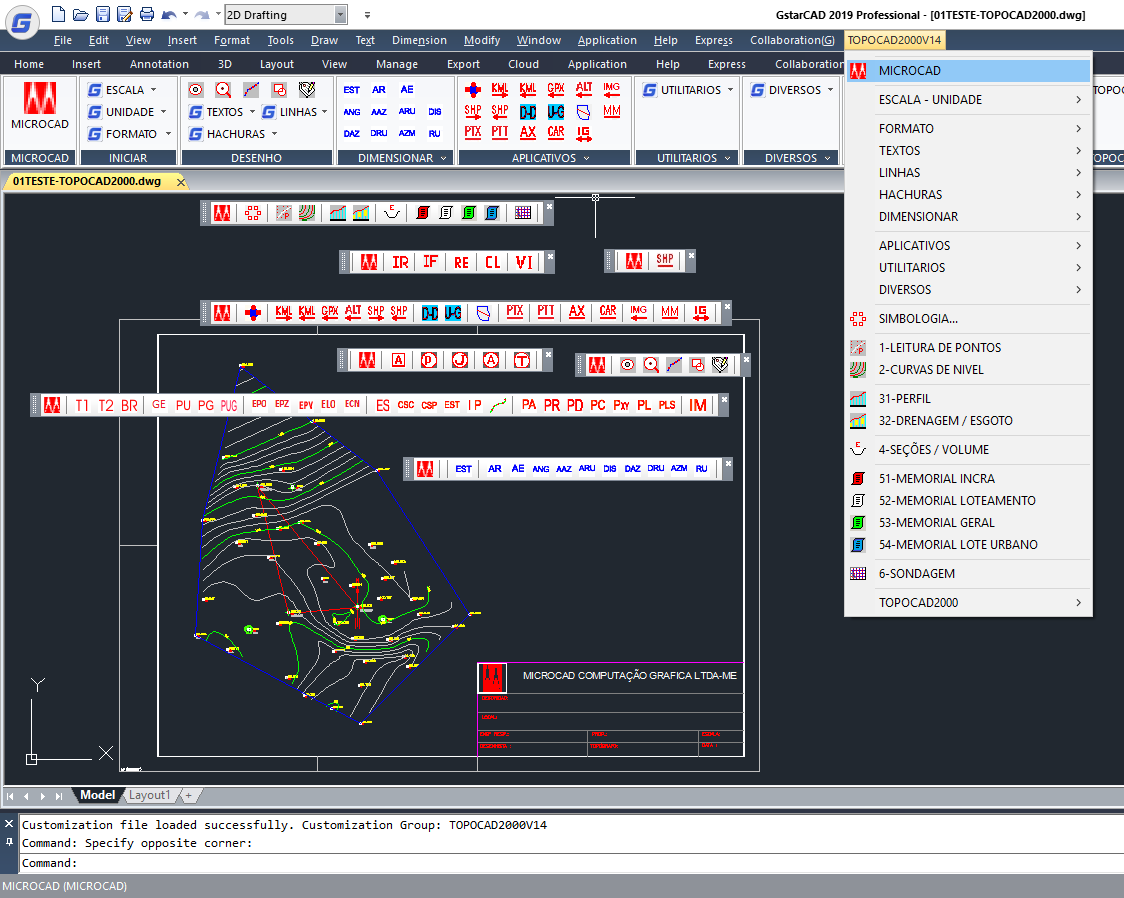
  • The Topocad2000 is a complement of CAD necessaries for use in topography.
  • TopoLT
    Other Apps
  • TopoLT
  • 2023-11-17 378
  • TopoLT is a program that offers tools for 2D and 3D application. TopoLT presents many possibilities to create plans and maps, 3D models, volume calculation, image processing, etc. Runs under GstarCAD 2024.
  • TranMap
    Other Apps
  • TranMap
  • 2023-03-12 108
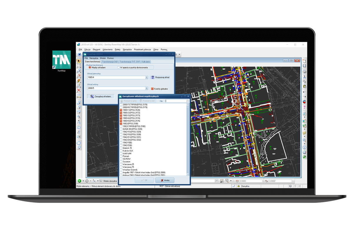
  • The advanced, universal land survey software to transform coordinates between different systems. TranMap allows for transformation of text and DXF files, as well as files drawn directly in CAD programs.
  • Wms2Cad
    Other Apps
  • Wms2Cad
  • 2023-03-12 350
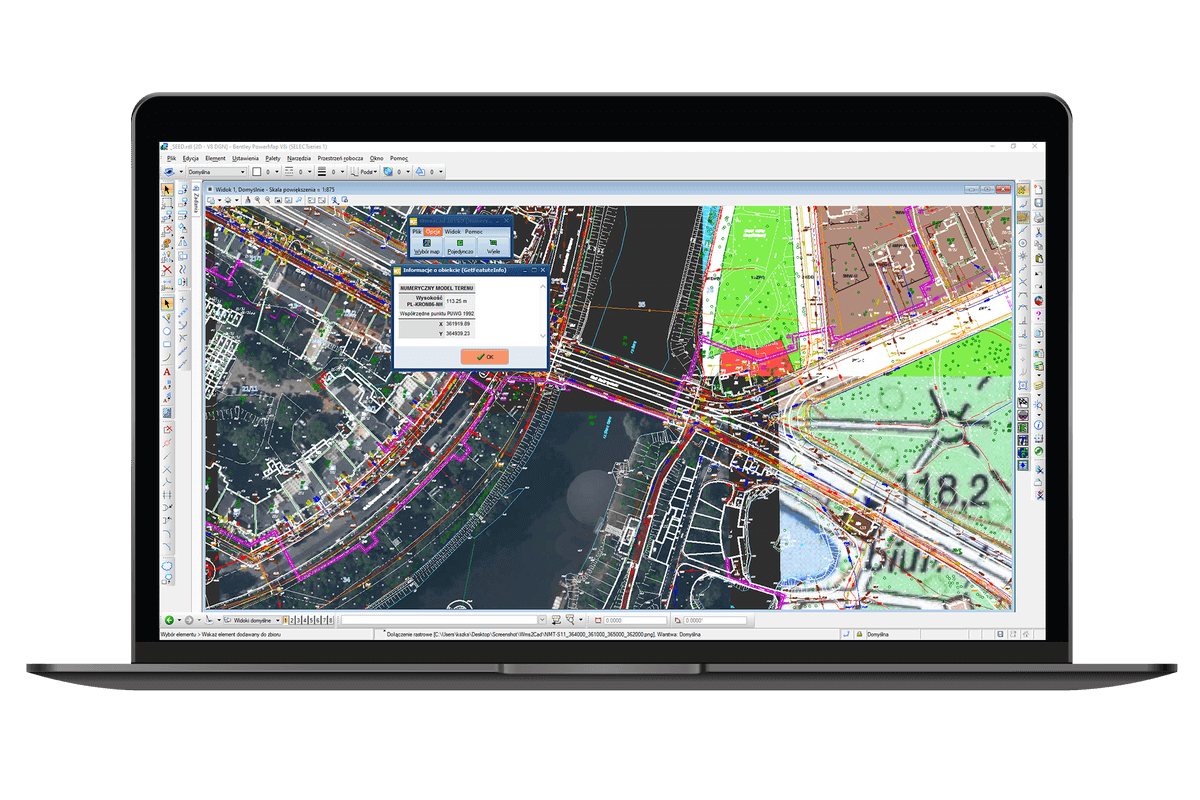
  • Wms2Cad is a software to quickly georeferencingly display maps from WMS services on CAD drawings basing on coordinates in a known system. It allows additional information to be obtained from the services, like ordinates from a digital terrain model. Wms2Cad has a huge base of predefined WMS, TMS and WMTS services.
< Previous SelectPageGO

For your better experience on our website and the display of relevant information, cookies will be used. Learn More

Accept