Application
We cooperate with local developers to provide industrial solutions for customers.


Discover the different modules of tcpMDT
tcpMDT Standard
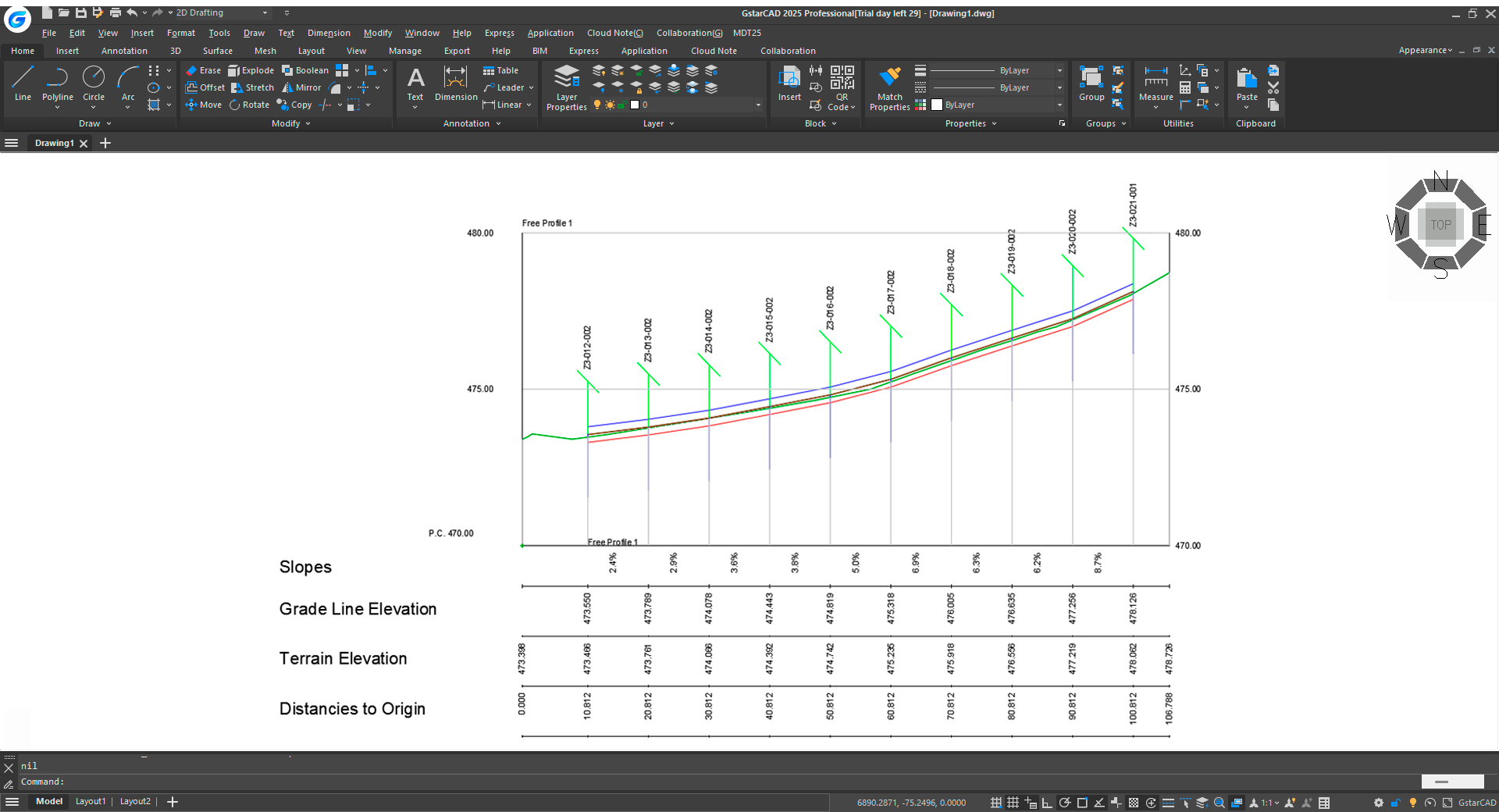
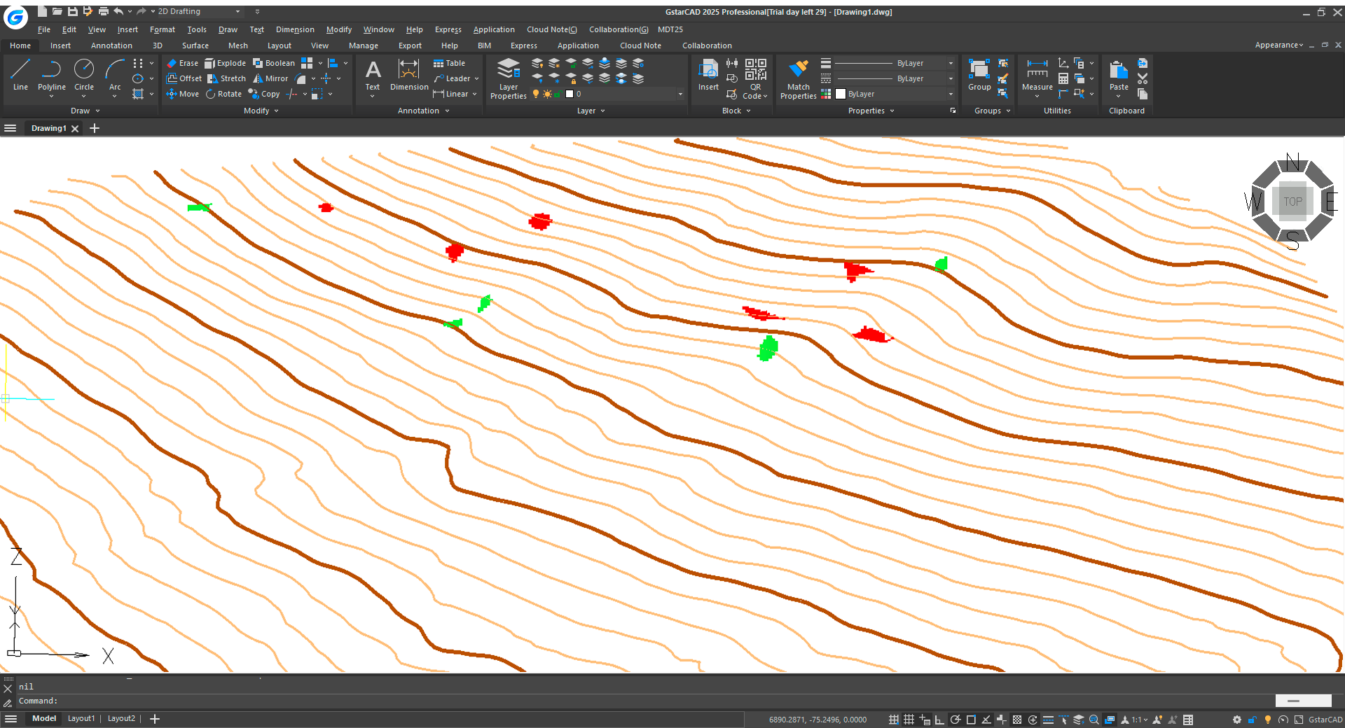
Surveys, digital terrain model, contour lines, profiles and volumes.
It allows terrain modeling using data obtained from total stations, GNSS receivers and importing files. It has options for generating contour lines, drawing longitudinal and transverse profiles, volume calculation, 3D visualization, slope maps, GIS import and export, etc. It contains commands for working with plots and multiple additional utilities.
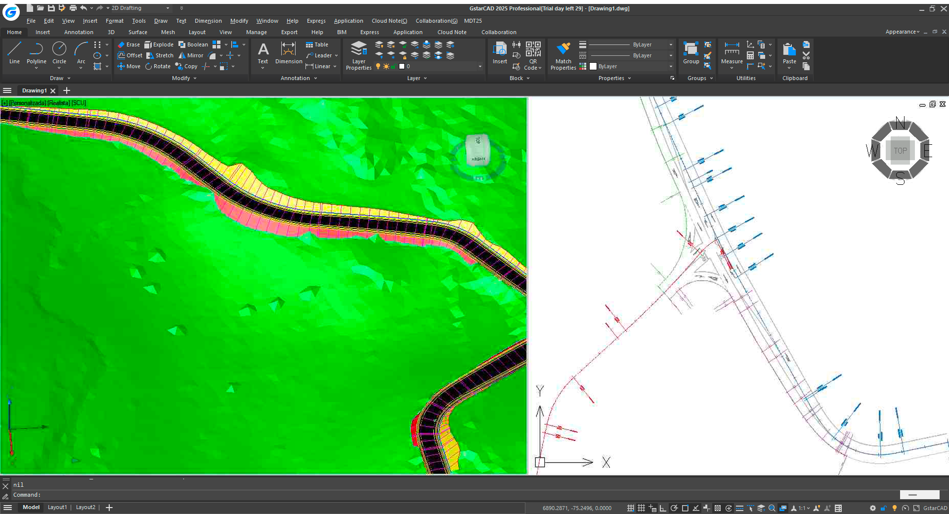
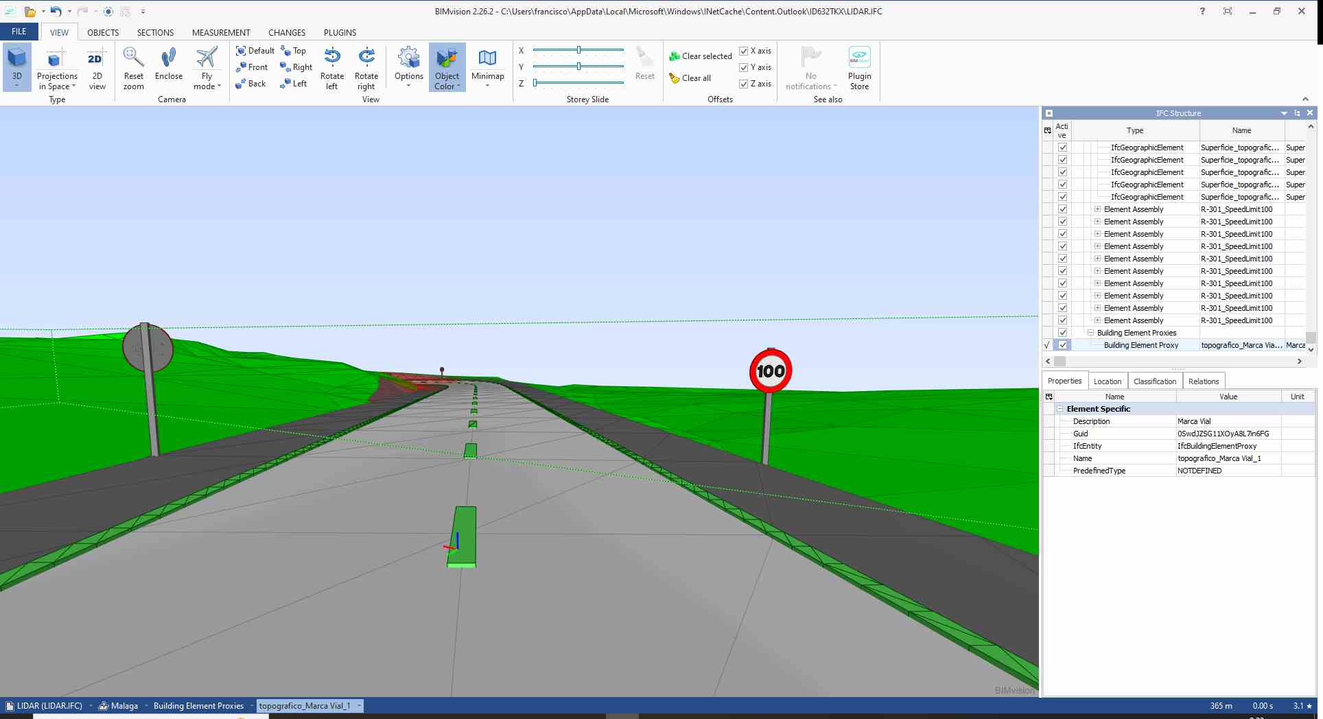
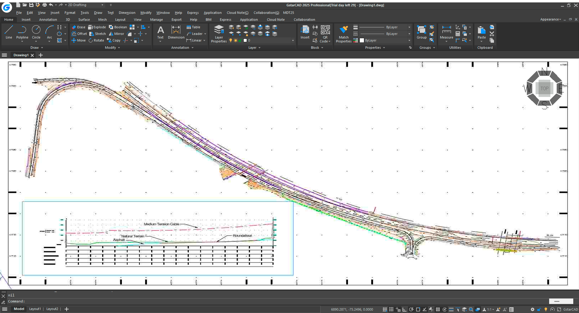
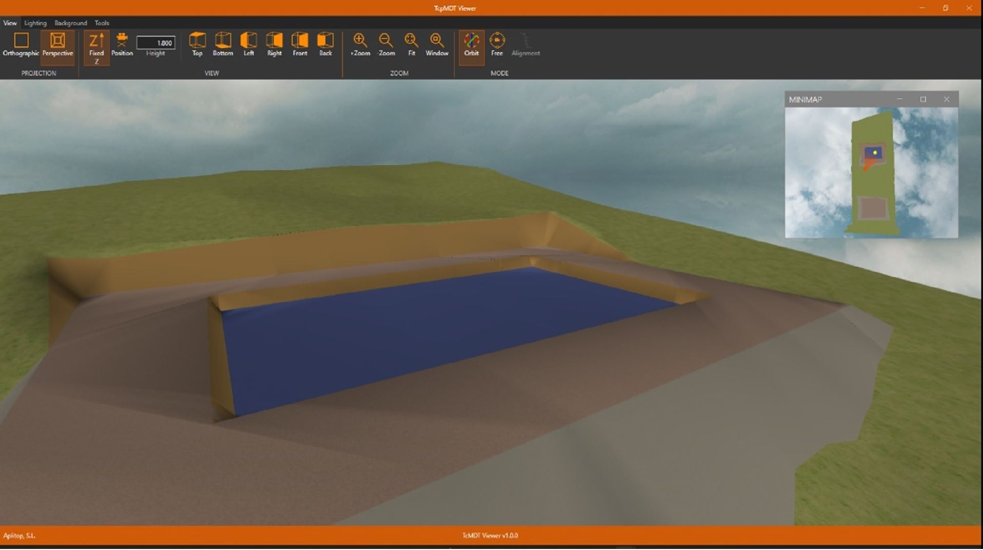
tcpMDT Professional
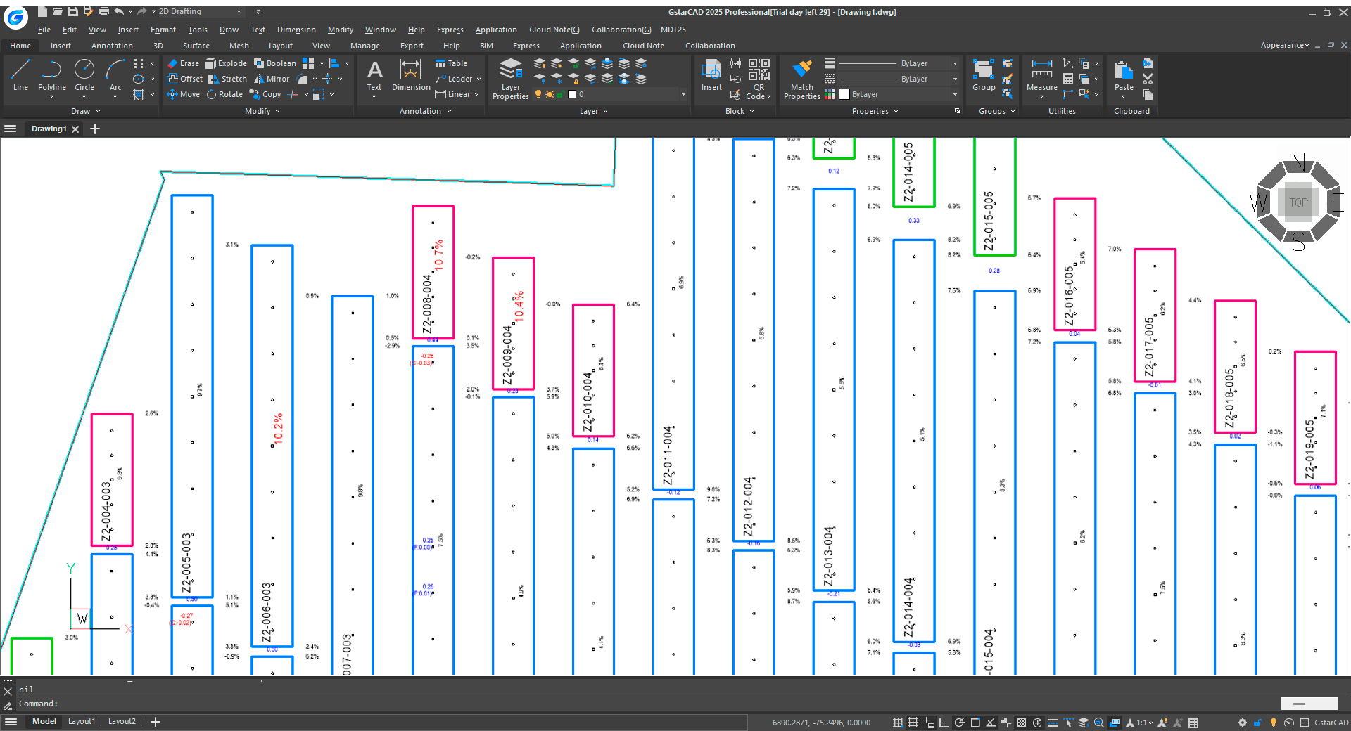
Solution for Surveying, Civil Engineering, Architecture and Construction projects.
It includes all the features of the standard version and provides tools for the design of horizontal and vertical alignments, drawing of typical project sections, area and volume reports, stakeout, virtual walkthrough, measurements and budgets, etc. This application is suitable for all types of topographic projects for roads, urbanizations, quarries, etc. It is easily integrated into OpenBIM workflows, with IFC, LandXML, etc. file exchange.
tcpMDT Surveying
Coordinate transformations and calculations with total station data.
Oriented to the calculation of point coordinates and compensation of polygonals and networks and to the processing of total station observations. It also allows to perform coordinate transformations with global coverage of reference systems, organized by countries.
tcpMDT Photovoltaic
Optimization of topographic projects in photovoltaic installations.
CAD application for the minimization of earthworks, measurements and stakeout of solar trackers. The workflow covers from terrain analysis, installation design, calculation and optimization to the production of results reports.


.png)