Application

We cooperate with local developers to provide industrial solutions for customers.

Wms2Cad
Wms2Cad is a software to quickly georeferencingly display maps from WMS services on CAD drawings basing on coordinates in a known system. It allows additional information to be obtained from the services, like ordinates from a digital terrain model. Wms2Cad has a huge base of predefined WMS, TMS and WMTS services.

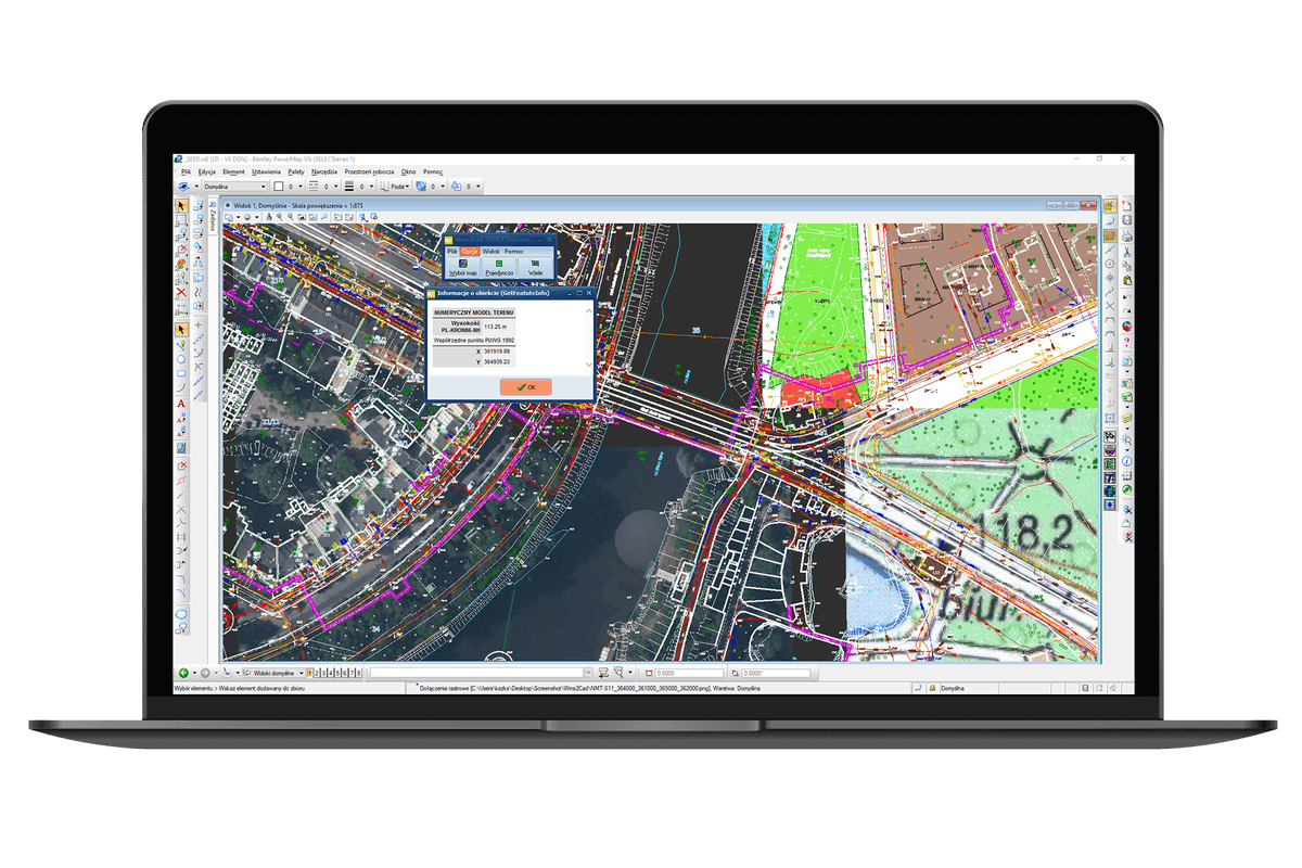
Displays raster images from WMS services in a CAD drawing in an extraordinarily easy manner;


Supports WMS, TMS and WMTS services;


Allows for connection with any WMS service if its owner shares publicly the service’s network address;


Displays a single raster tile or a group of tiles (by a single click at a chosen place or by marking a selected area);


Many predefined connections to various map services, including Open Street Map.

1 Pages
CP-Symbols Mechanical
  • Language
  • Polish, English, Italian, German
  • Required
  • Windows7/8/10/11
  • Size
  • 4.00kb
  • Released
  • 2023-03-12
CP-Symbols Mechanical

For your better experience on our website and the display of relevant information, cookies will be used. Learn More

Accept