Application
We cooperate with local developers to provide industrial solutions for customers.


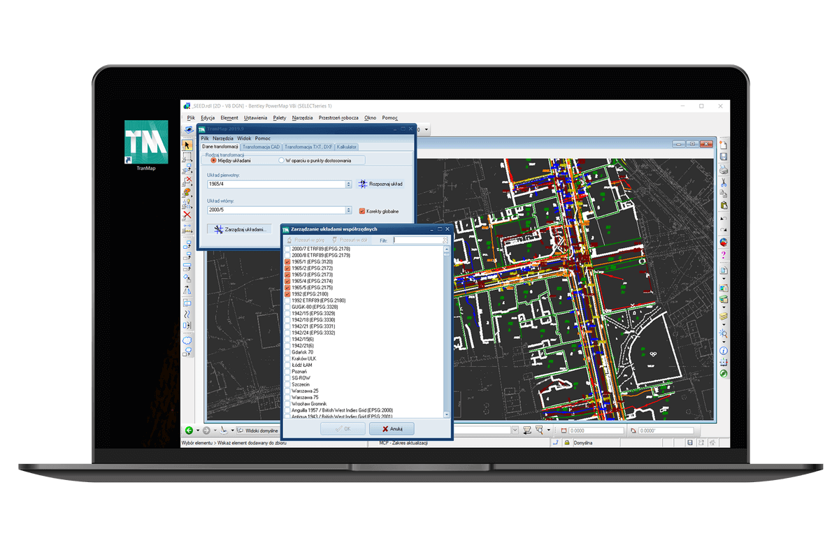
Operation on various coordinate systems from different parts of the world;
Define own systems based on known parameters;
Supports five transformation models with possibility to apply Husbrandt corrections;
Supports external coordinates bases (the free version of GeoView allows to load coordinates of adjustment points to be loaded directly from the project or text file);
Transformation of text files with coordinates, DXF files and other project files used in the majority of most popular CAD programs;
Transformation of many files at the same time;
Transformation of coordinates copied to a clipboard.