- Home
-
Products
-
2D CAD
-
GstarCAD


Industry Solutions
- GstarCAD Mechanical
- GstarCAD Architecture
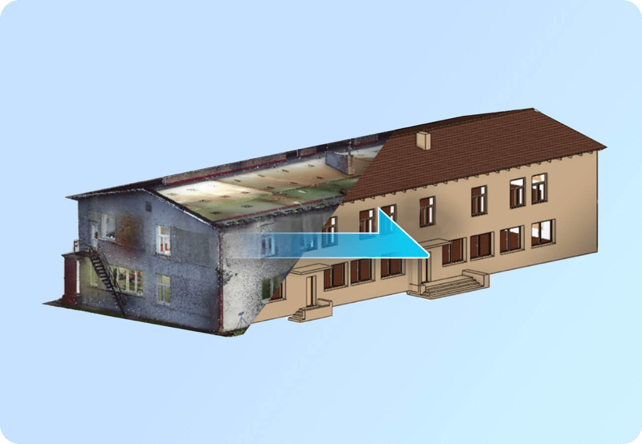
- GstarCAD Point Cloud
- More Applications
Cloud Collaboration
- GstarCAD 365
BIM & 3D CAD
- GstarBIM
- Houseplan 2.0
-
-
Products
2D CAD
-
GstarCAD
Industry Solutions
- GstarCAD Mechanical
- GstarCAD Architecture
- GstarCAD Point Cloud
- More Applications
Cloud Collaboration
- GstarCAD 365
Mobile & Viewer
- DWG FastView
- DWG FastView Plus
- 3D FastView
- Support
- Blog
- Download
- Application
- Partner
- Buy