Application
We cooperate with local developers to provide industrial solutions for customers.


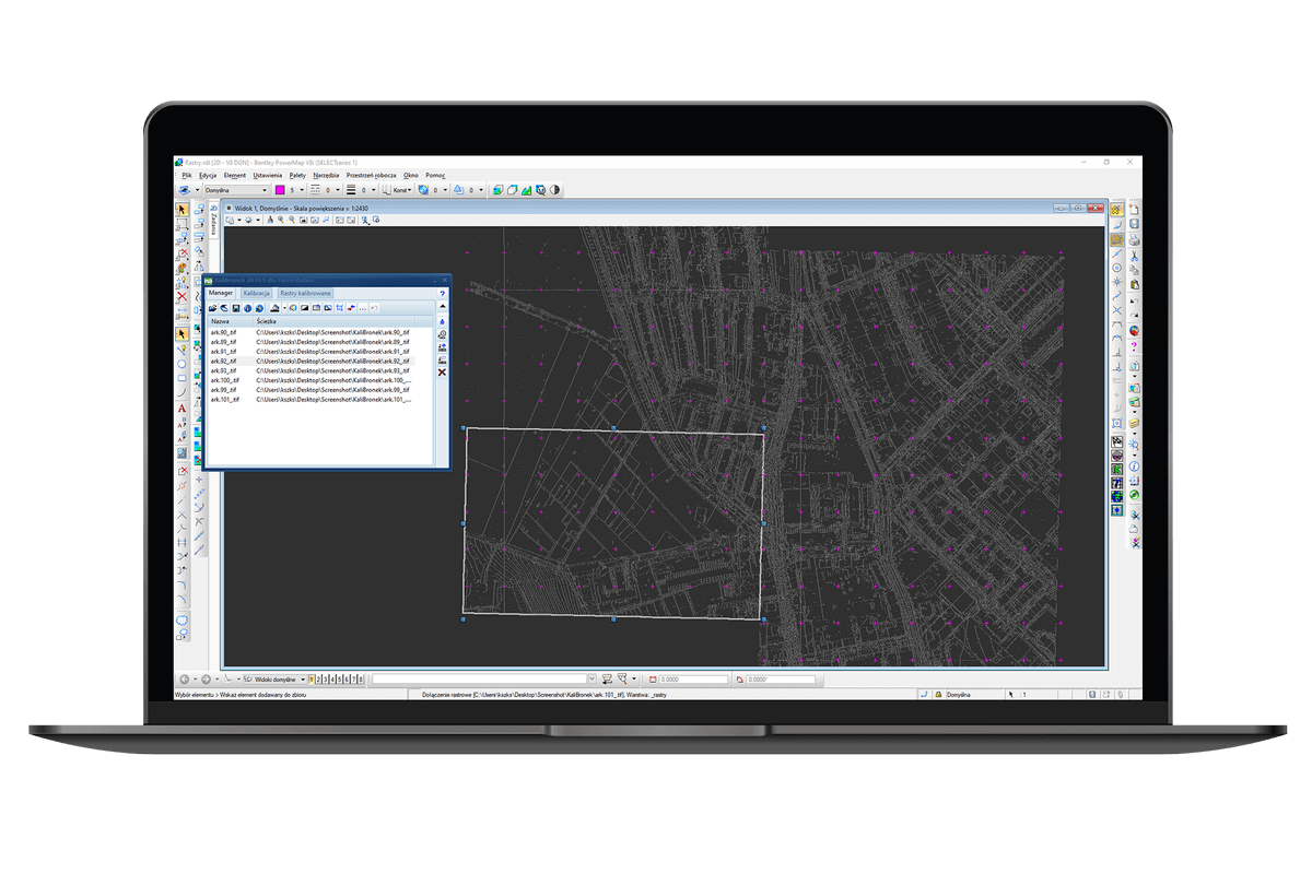
The unique manner of determining reference points drawing simple lines in CAD connecting points from a raster with target points from a drawing;
Painting (cleaning out) a selected area;
Inversion, cropping, merging and denoising;
Removing marks after cropping a map frame;
Saving georeferenced;
Huge control over calibration and comfortable edition of adjustment points;
Converting format of a file, compression, and colour pallet;