Application
We cooperate with local developers to provide industrial solutions for customers.


Opening files with coordinates: Text / CSV files, Leica GSI, TDS RAW/RW5, GPX, JPG with EXIF daa;
Transmission/export of coordinate to text files, Leica GSI, Sokkia SDR, Geodimetr (Geodat), Google Earth KML, GPX, Garmin PCX5, OZI Explorer WPT, Fugaw;
Displaying a location of points in external map services: Google Maps, Bing Maps and other;
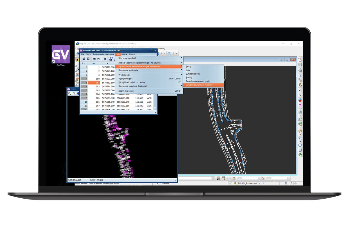
Sending coordinates to a CAD drawing: in a text form (numbers, ordinates), points, circles or symbol;
Supports interaction between a point table and CAD drawing;